
In cities and counties throughout Puget Sound, western Washington State, water type classification (such as “fish bearing” or “non-fish bearing”) directly affects the amount of protection that streamside buffers receive through local governance.
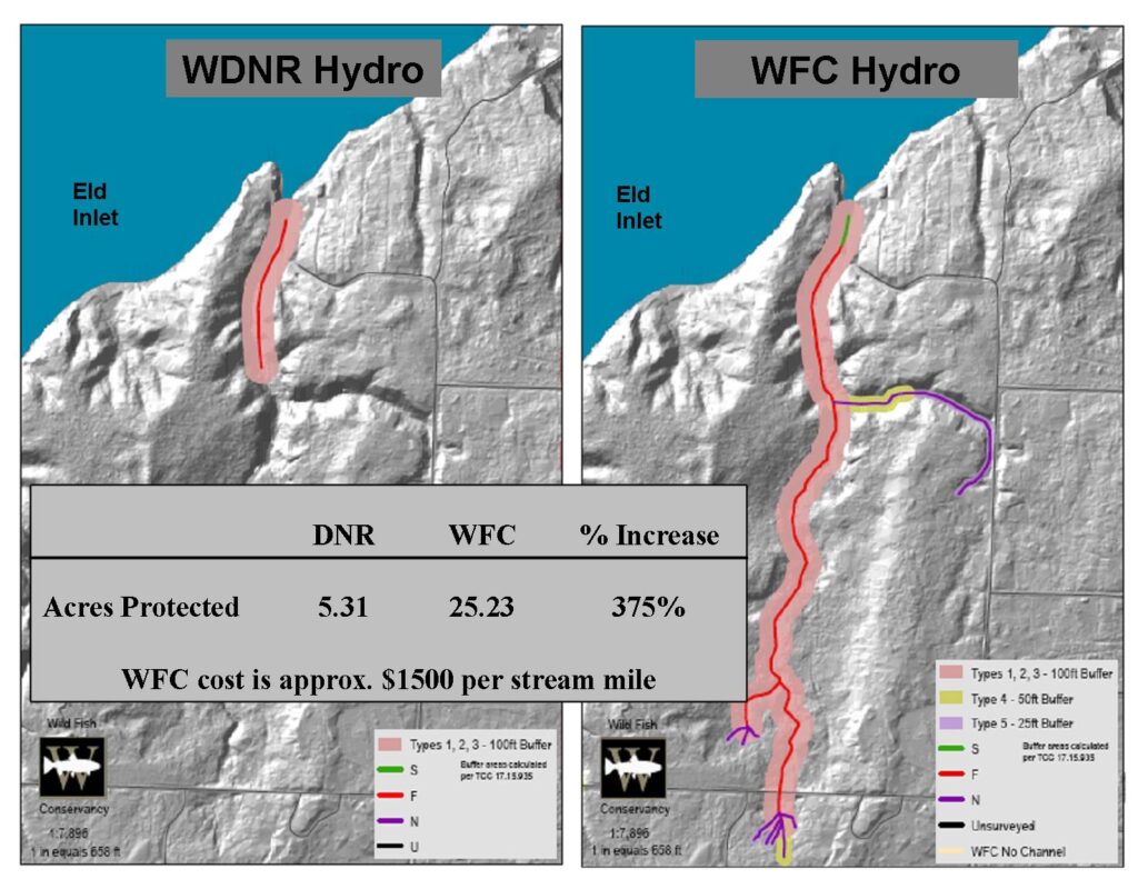
Too often, however, these streams do not receive the protection they should for a surprisingly simple reason: policy makers are relying on inaccurate maps.
Errors in Washington State water type maps result in the under-protection of 40-60% of the fish-bearing stream network. Over the 183 miles of streams in this study area, WFC found that 4.05 miles of those WDNR mapped channels did not exist, but that an additional 10.05 miles of stream channels did exist that were not on the official WDNR water type maps.
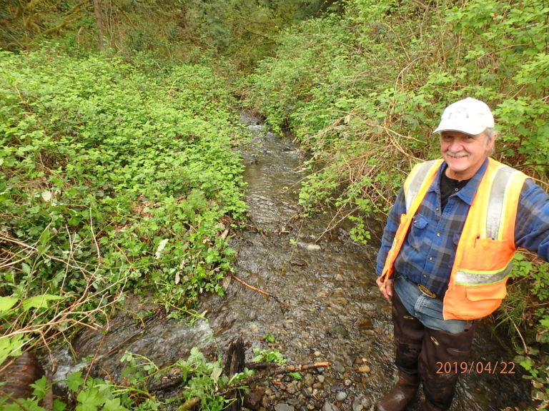
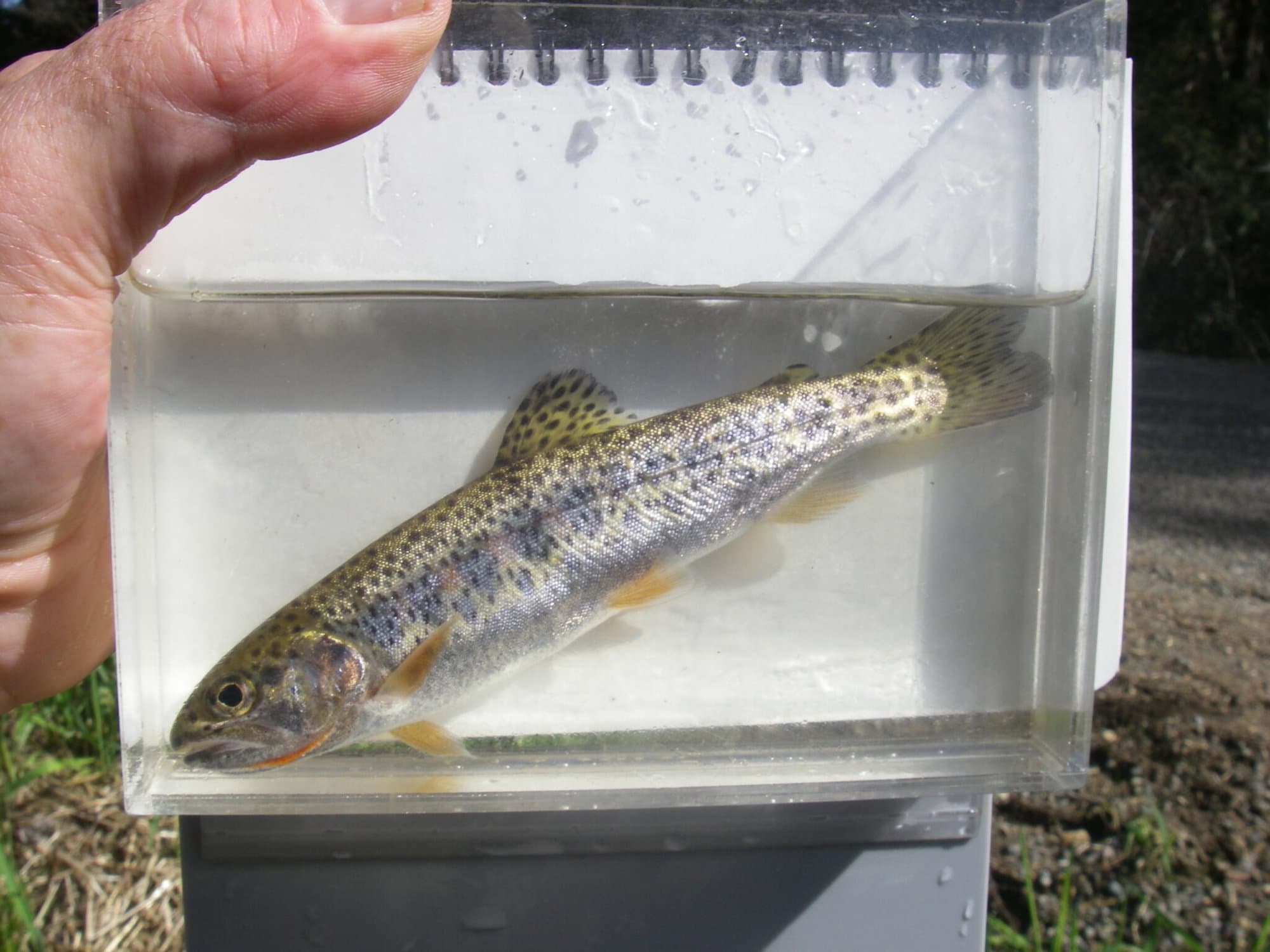
Using visual and electrofishing surveys by state-established protocols, Wild Fish Conservancy (WFC) documented and corrected water type classifications using established state protocols in approximately 50 miles of at-risk streams in the Chehalis watershed.
Working with the Chehalis Habitat Work Group and County staff, two priority subwatersheds were selected for the water type assessment: Wildcat Creek (tributary to the Cloquallum) and Allen Creek (tributary to Beaver Creek).
Using GPS and GIS, WFC accurately mapped previously unmapped/incorrectly mapped water courses to ensure informed and responsible watershed management. The assessment results were submited to WDNR and uploaded into a web-based interactive GIS available to planners, landowners, and resource managers.
In addition to correcting water type maps, this assessment benefited salmon by generating species-specific fish distribution data, and identifying restoration opportunities on lesser-known tributaries of the Chehalis River.
Location | Start Date |
|---|---|
Wildcat, Scatter Creek, and Black River, tributaries to the Chehalis River, western Washington State | 02/01/2009 |
Project Type | Completion Date |
|---|---|
Water Typing | 07/01/2012 |
The goal of the project is to increase/improve information to help select projects that have a high certainty and benefit. The objective of the project is to determine project siting, feasibility, design, or implementation.
Primary Habitats Impacted By Project: | Managing Agency/ Organization: |
|---|---|
Riparian Stream Channels | Washington State Recreation and Conservation Office |
Project Contact: | Budget or Project Cost: |
|---|---|
Jamie Glasgow | $94,700 |
Funding Sources: | Partners: |
|---|---|
Washington State Grants | Chehalis Habitat Work Group, Grays Harbor County |

Join our mailing list to recieve important updates on our work, the latest wild fish news, & opportunities to take action to support wild fish.
This site is protected by reCAPTCHA and the Google Privacy Policy and Terms of Service apply.
Wild Fish Conservancy is recognized as a 501(c)3 non-profit by the IRS