Snoqualmie and Upper Skykomish Alluvial Water Storage Assessment
Watershed Assessment
Summary
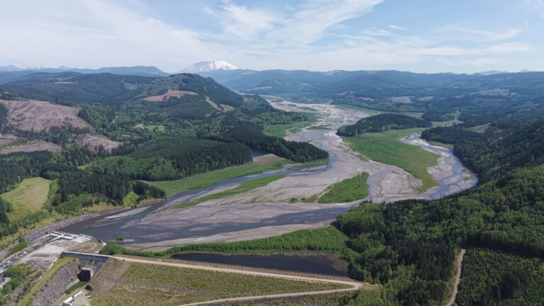
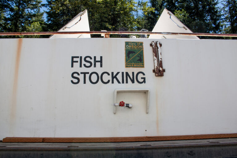
This project will develop an estimate of the amount of restorable alluvial water storage in the headwaters of the Snoqualmie and upper South Fork Skykomish including: the South, Middle, and North Forks of the Snoqualmie River, Tokul Creek, the Tolt River, the Upper South Fork Skykomish, and the Miller, Beckler, Tye and Foss Rivers.
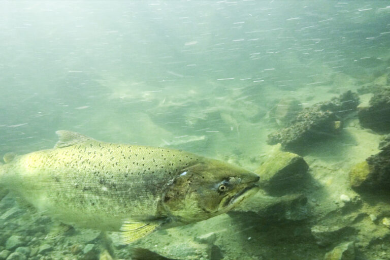
In forested channel networks, large woody debris (LWD) is often the primary control on grade and shear stress partitioning. In these systems the loss of LWD, through logging or removal of in-stream wood, results in channel incision, the lowering of water tables, and an associated loss of water storage in the basin. This also speeds up the routing of water through the watershed. Alluvial channels consist of two distinct channels conveying water: 1) a surficial channel of open flow, and 2) a subsurface hyporheic ground water channel of flow moving through a porous medium of alluvial sediment. The velocity of water moving through these channels can vary by up to 5 orders of magnitude. Subsurface flow volume can have a significant role in water retention as well as base flow supplementation.
Channel incision leads to a substantial reduction or even complete loss of subsurface water storage capacity by lowering water tables and evacuating alluvial sediment. Flood flows are concentrated in the main channel where there is little roughness to slow them down. Restoring incised channels has the potential to decrease flooding hazards through increased flood water storage in floodplain valleys. It can also supplement base flows during the summer low-flow period, as the increased volume of wetted alluvium contributes to flows.
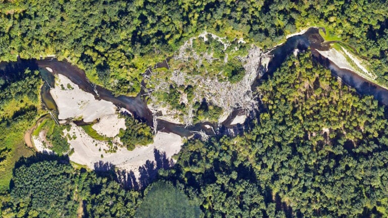
The project will build a Geographic Information System (GIS) model using existing Light Detection and Ranging (LiDAR) remote sensing data to quantify the potential for water conservation and storage through restoration at the basin scale. This work would expand upon the pilot work being conducted in the Raging River and the Middle Fork Snoqualmie River funded by the King County Flood Control District (FCD) Cooperative Watershed Management (CWM) Grant Program in 2020. Once this assessment is complete, we will use the results to target reaches in the upper basins for channel restoration treatments in future phases of this work.
Location
Start Date
Basin wide in the Snoqualmie and Upper Skykomish Rivers (WRIA 7)
09/01/2022
Project Type
Completion Date
Watershed Assessment
07/01/2024
Goals & Objectives
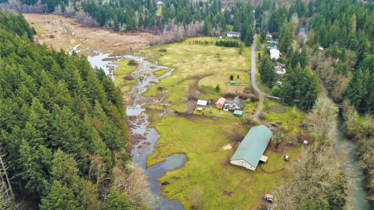
The first phase of the project has highlighted the potential for water storage restoration projects in tributaries to the Middle Fork Snoqualmie (Pratt River) and in the mainstem Middle Fork Snoqualmie as well as other potential sites in the upper Raging River basin. The screening tool we will develop highlights locations where floodplain reconnection projects could have the most potential for alluvial water storage, these are the “low hanging fruit” with regard to floodplain restoration. The locations where the most floodplain reconnection can be achieved through LWD or grade control restoration.
There will be two primary deliverables from this project:
A memorandum generated by the geospatial/hydrogeology consultant that will include: a background data review and methodology, topographic analysis to estimate incision and to delineate valley bottoms, geospatial modeling of volume and flux calculations, proximity to infrastructure, land ownership, and geomorphic characteristics. Results will be developed at the stream segment level and will include the development of relative elevation maps for the top sites. The memorandum will aggregate and visualize results by water storage potential, land ownership, and infrastructure intensity.
Recommendations in the form of a Final Report from Wild Fish Conservancy that will build on the memorandum from the consultants by developing strategies for further actions at the most promising restoration sites based on outreach efforts by WFC to landowners, stakeholders, and potential partners. This report will include documentation from the outreach efforts and will develop conceptual designs (non-CAAD) and funding strategies for three of the top identified sites and will provide site-specific recommendations for a range of future restoration projects across the basin.
Primary Habitats Impacted By Project:
Managing Agency/ Organization:
Floodplain, Mainstem Channel, Tributary
Wild Fish Conservancy
Project Contact:
Budget or Project Cost:
Micah Wait, Conservation Director
$135,758
Funding Sources:
Partners:
King County Flood Control District (FCD) Cooperative Watershed Management (CWM) Grant Program