In cities and counties throughout Puget Sound, western Washington State, water type classification (such as “fish bearing” or “non-fish bearing”) directly affects the amount of protection that streamside buffers receive through local governance.
Too often, however, these streams do not receive the protection they should for a surprisingly simple reason: policy makers are relying on inaccurate maps.
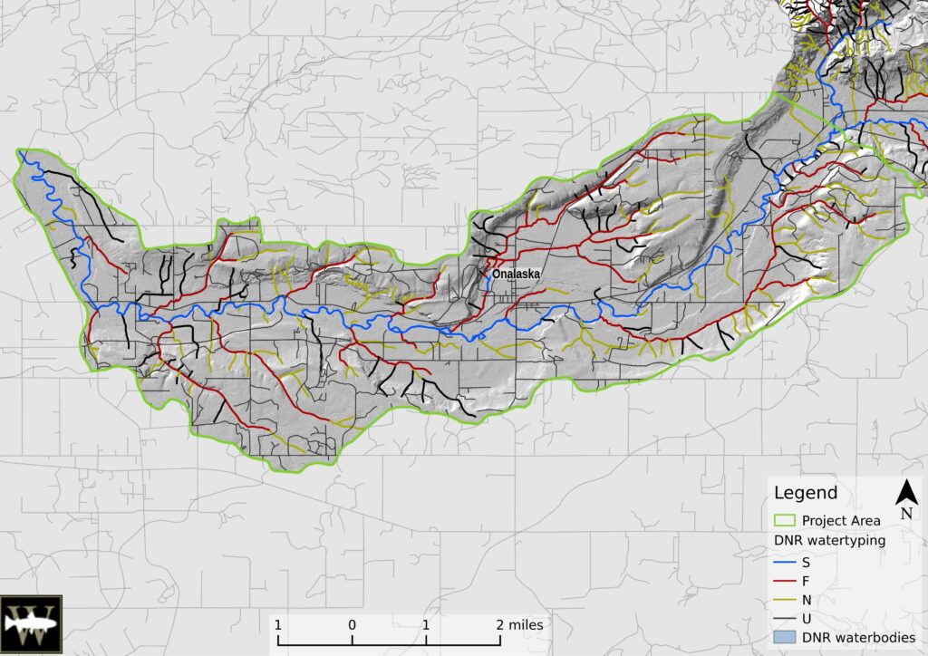
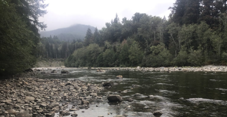
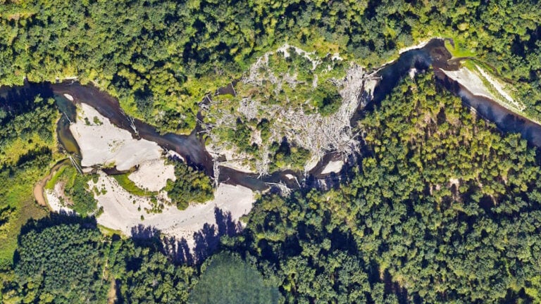
Errors in Washington State water type maps result in the under-protection of 40-60% of the fish-bearing stream network. Over the 105 miles of streams in this study area, Wild Fish Conservancy (WFC) found that 4.6 miles of those Washington Department of Natural Resources (WDNR) mapped channels did not exist, but that an additional 16.2 miles of stream channels did exist that were not on the official WDNR water type maps.
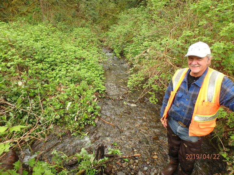
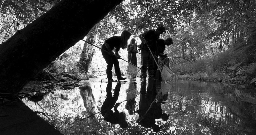
Using visual and electrofishing surveys by state-established protocols, WFC documented and corrected water type classifications in approximately 123 miles of at-risk streams within the South Fork Newaukum watershed.
Using GPS and GIS, WFC accurately mapped previously unmapped/incorrectly mapped water courses to ensure informed and responsible watershed management. The assessment results were submited to WDNR and uploaded into a web-based interactive GIS available to planners, landowners, and resource managers.
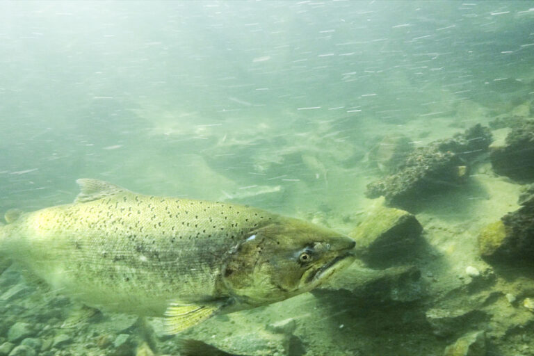
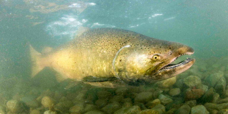
In addition to correcting water type maps, this assessment benefited salmon by generating species-specific fish distribution data for cutthroat trout, rainbow trout, coho salmon, sculpin, brook lamprey, 3-spined stickleback, brown bullhead, koi, and dace.
Location
Start Date
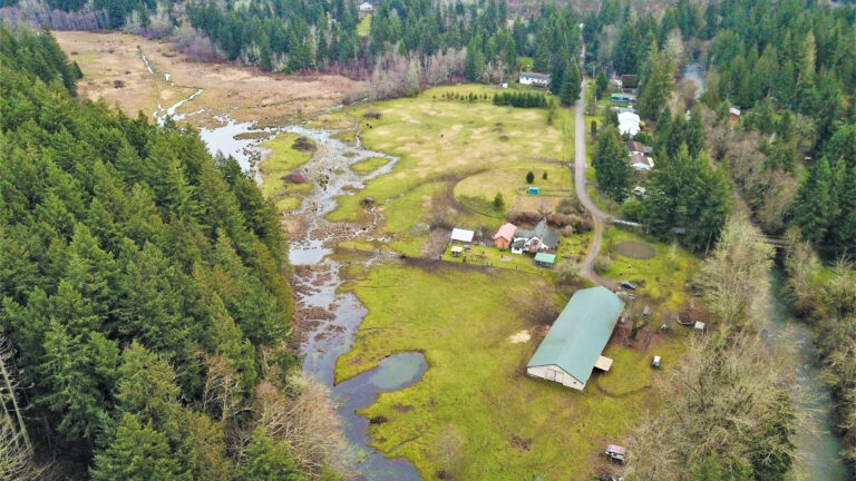
Tributaries to SF Newaukum, Lewis County, western Washington State
07/09/2015
Project Type
Completion Date
Watertyping
12/31/2018
Goals & Objectives
Objectives:
1) Use the state-sanctioned water type protocol to survey 30 miles of stream: data will be used to and update and correct the regulatory maps used by state and local government agencies for planning critical areas protection and recovery efforts around streams and wetlands
2) Identify and prioritize habitat restoration projects: within survey watersheds we will identify and prioritize at least five fish habitat restoration projects including but not limited to fish passage, riparian protection and revegetation, instream LWD, floodplain reconnection, reduce excessive bank erosion, off-channel restoration projects, and naturalization of ditched channels
Primary Habitats Impacted By Project:
Managing Agency/ Organization:
Riparian Stream Channels
Wild Fish Conservancy
Project Contact:
Budget or Project Cost:
Jamie Glasgow
$99,495.53
Funding Sources:
Partners:
CBS Habitat Rest. Project, Salmon Recovery Funding Board, Washington State Grants
WDFW, the Lewis County Conservation District, Quinault Indian Tribe, and Lewis County