Description |
|---|
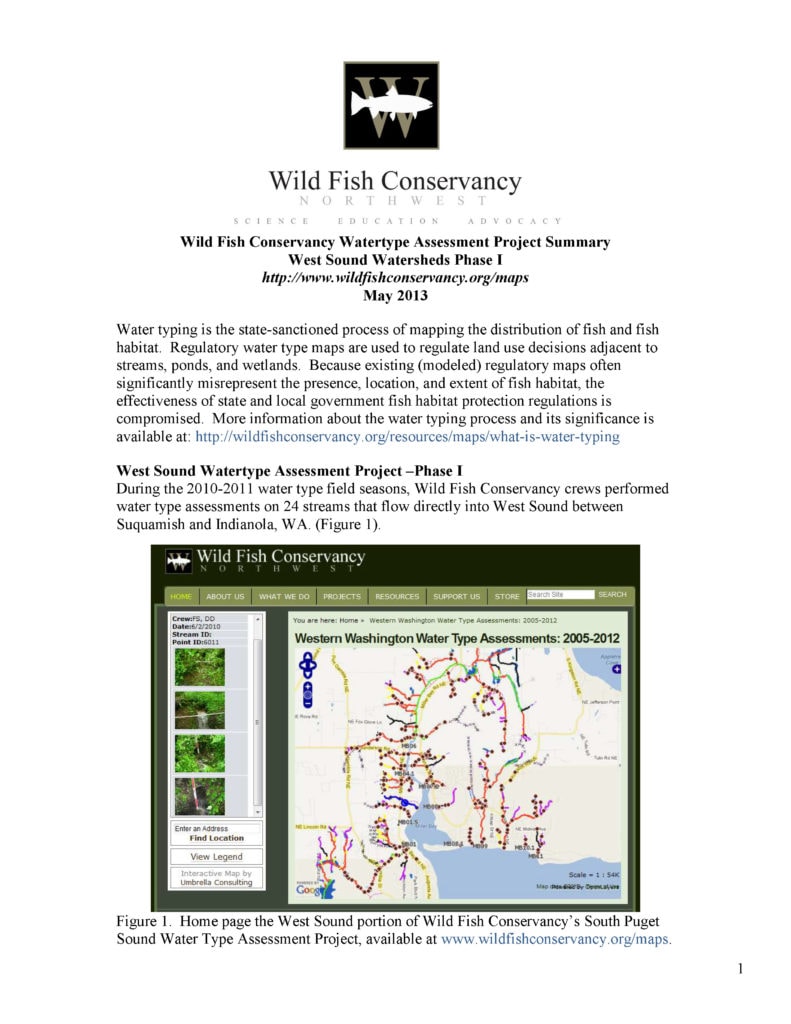
During the 2010-2011 water type field seasons, Wild Fish Conservancy crews performed water type assessments on 24 streams that flow directly into West Sound between Suquamish and Indianola, WA. This water type assessment encompassed 61 miles of streams draining into and adjacent to Miller Bay in N. Kitsap County (Figure 2). WFC conducted water type surveys using the protocols and definitions provided in WAC 222-16-031 and Section 13 of the Forest Practices Board Manual. WFC collected data only on properties where permission to do so was granted. During this phase of the project WFC requested permission from 983 property owners. Of these, 288 (30 percent) granted permission for the WFC staff to perform the survey on their property. WFC documented stream channel location and characteristics, fauna, riparian condition, and restoration opportunities via GPS and photographs. Wetted width, bankfull width, channel gradient, and other data were recorded at each GPS point and are visible, with photographs, by clicking on the points in the interactive map. We present more than 1,050 photographs (with associated channel condition descriptions) on the interactive |
File Attachment |
|---|
Download |
Join our mailing list to recieve important updates on our work, the latest wild fish news, & opportunities to take action to support wild fish.
This site is protected by reCAPTCHA and the Google Privacy Policy and Terms of Service apply.
Wild Fish Conservancy is recognized as a 501(c)3 non-profit by the IRS